Video documentation
Documentation images
Catalogue Text
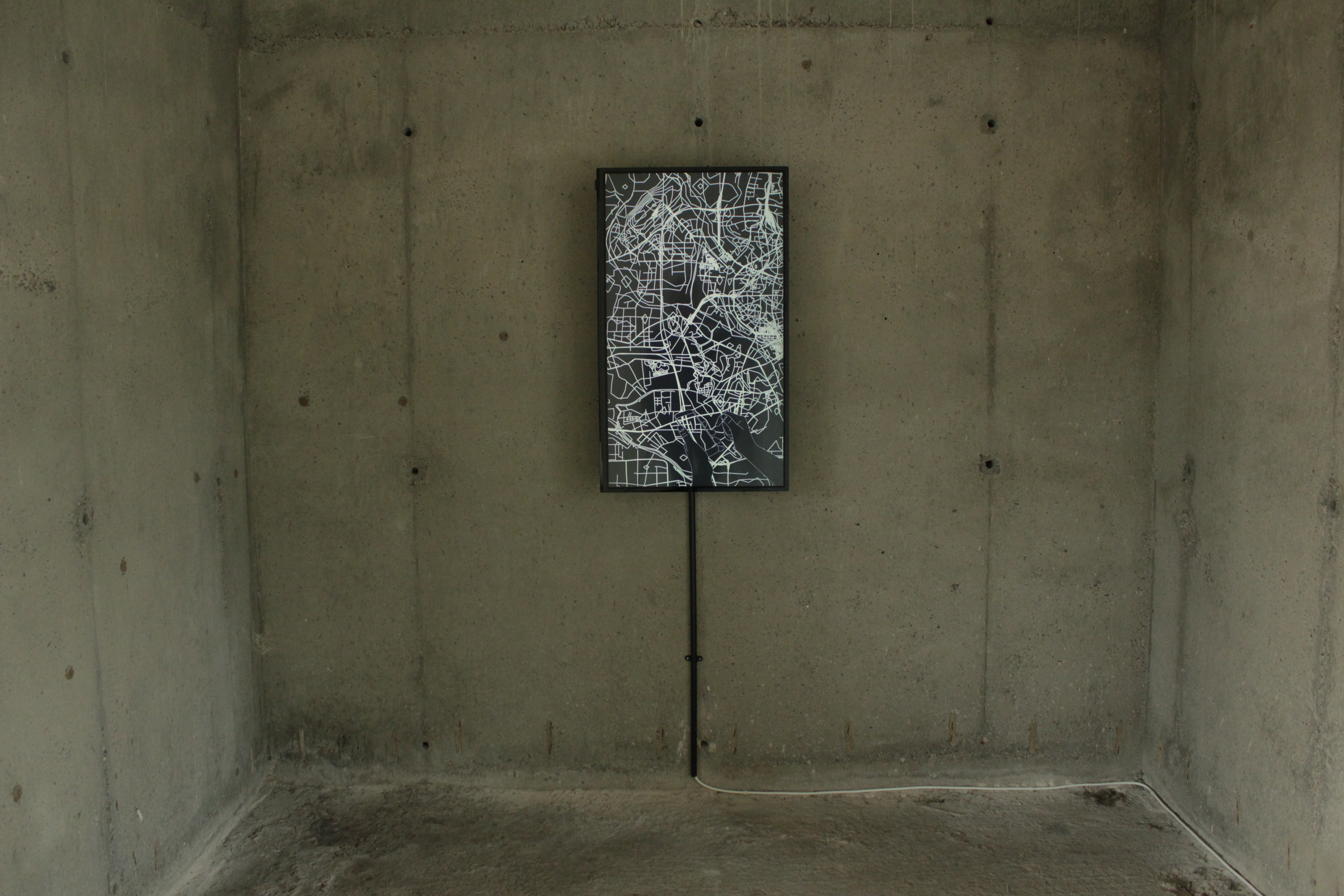
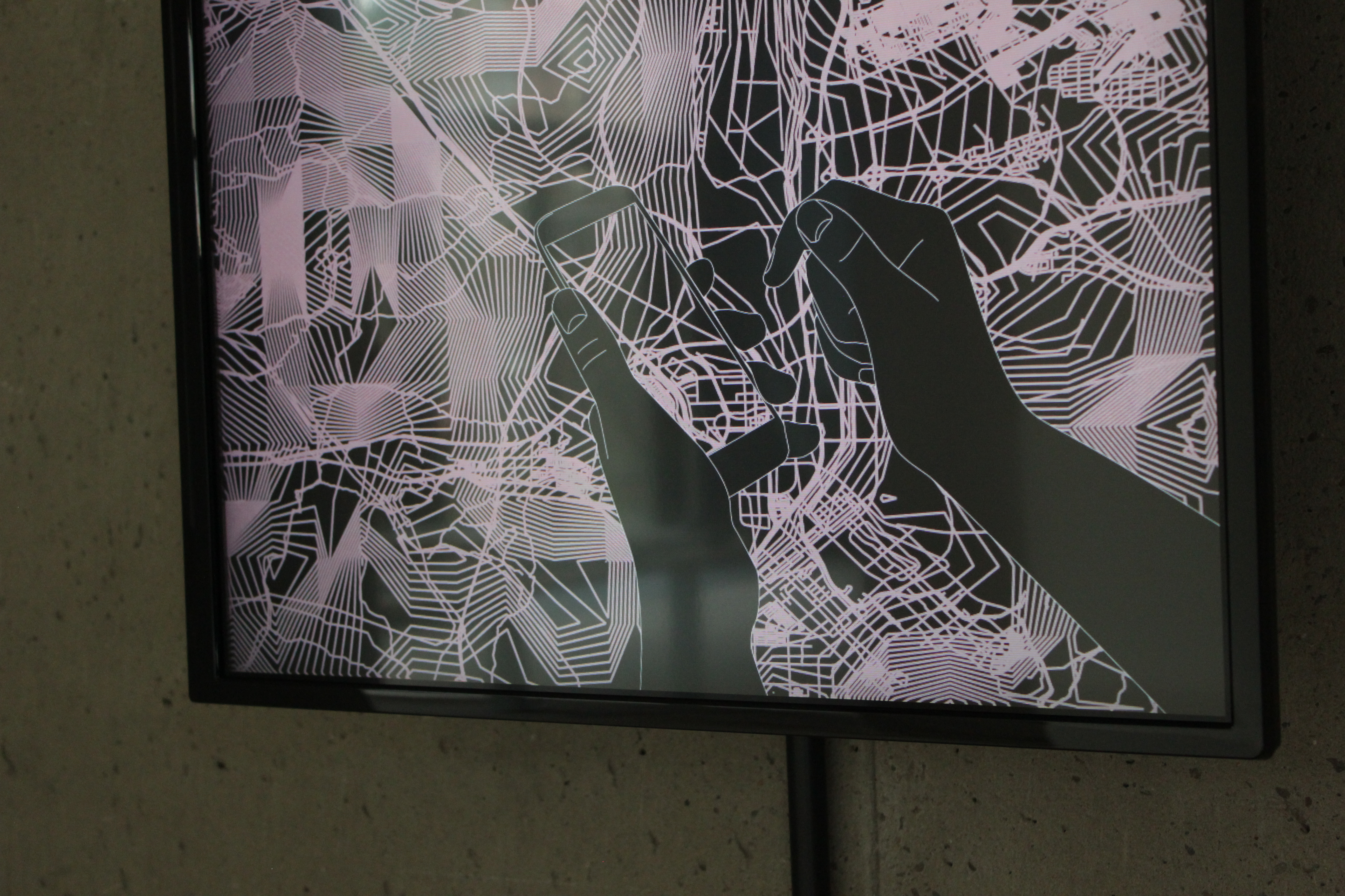
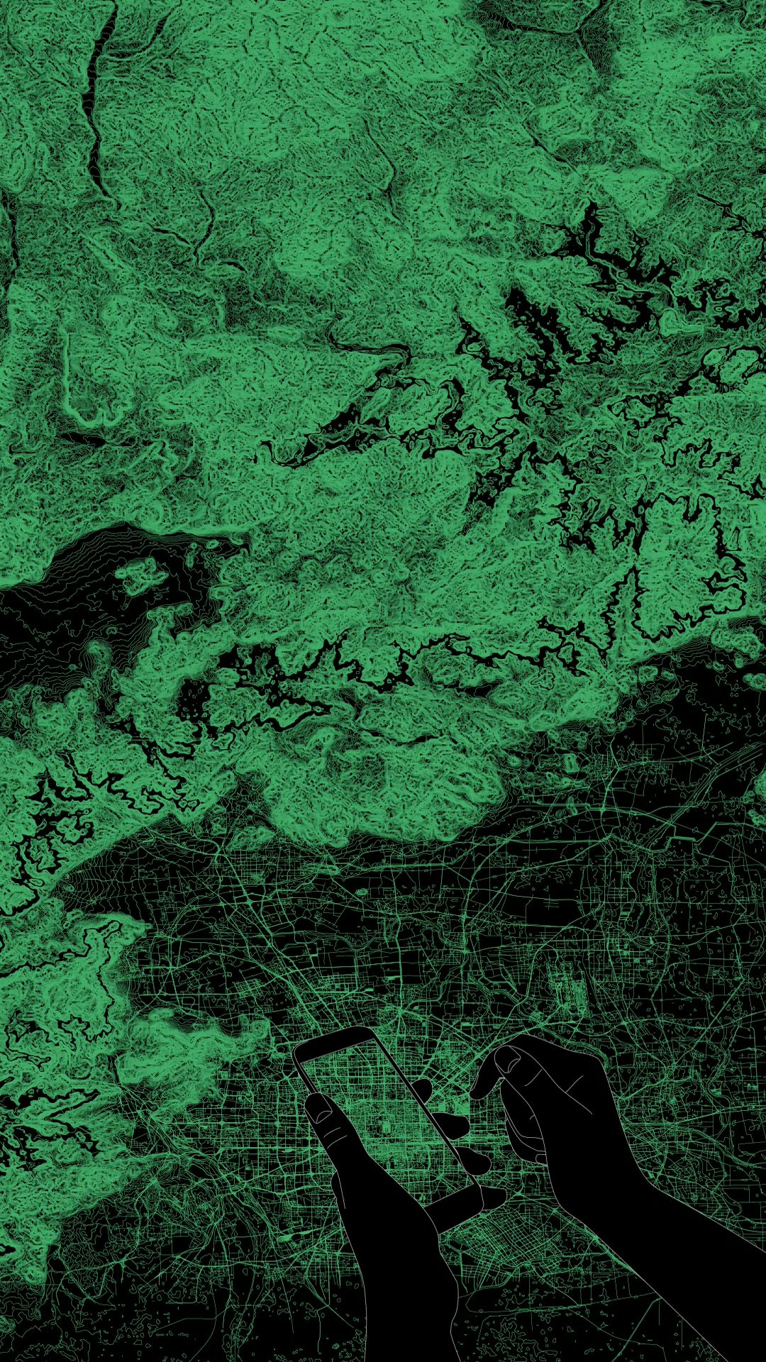
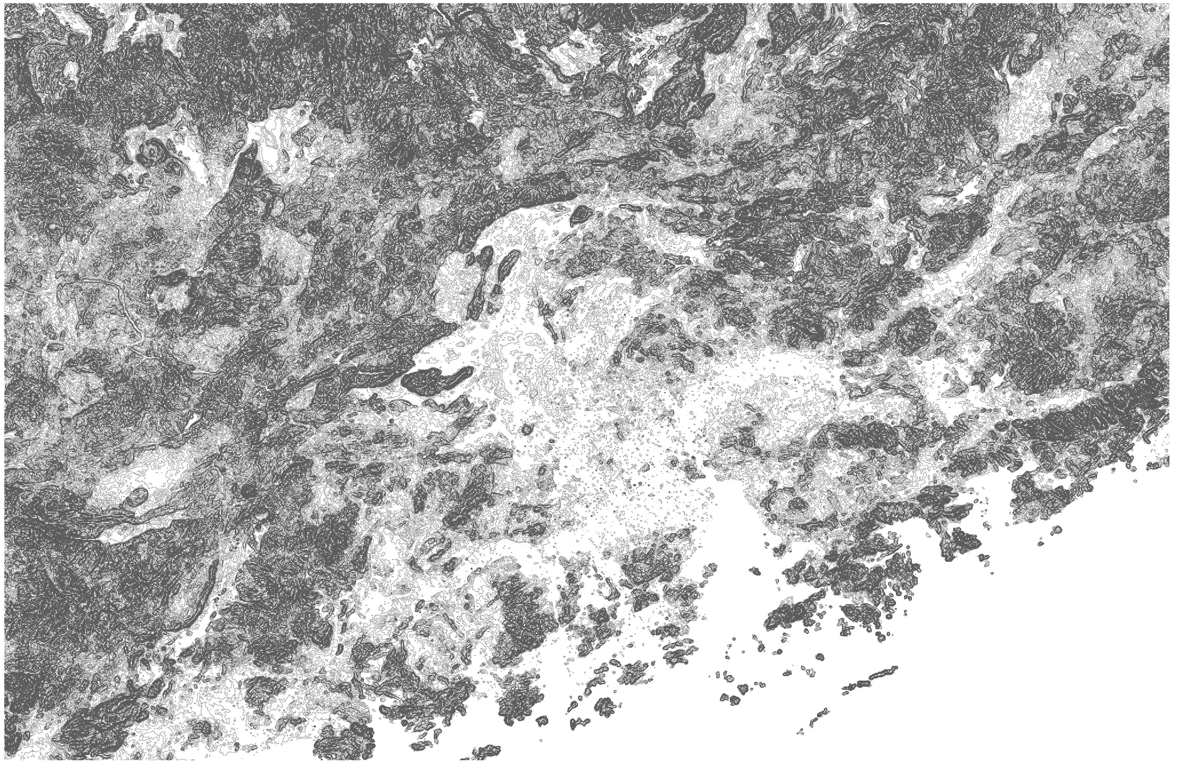
Invisible Layers (2015) takes as its starting point the mismatch between experience of the infrastructural landscape and the way this landscape is imaged. The piece uses terrain data from the United States Geographical Service and map data from the crowd-sourced Open Street Map to compile intricate, layered views of the locations of the head offices of major smartphone manufacturers.
Maps are most commonly viewed on digital devices – SatNavs or smartphones – and smartphones in particular offer the opportunity to browse, never alighting upon an image long enough that it can be properly absorbed or fully assimilated. The reductive and diagrammatic visual language of infrastructural mapping is designed to be purely functional, and has a very clear aesthetic. This piece places this visually complex overview in the context of relentlessly inattentive consumption and disposal of digitally mediated images.
Production Process
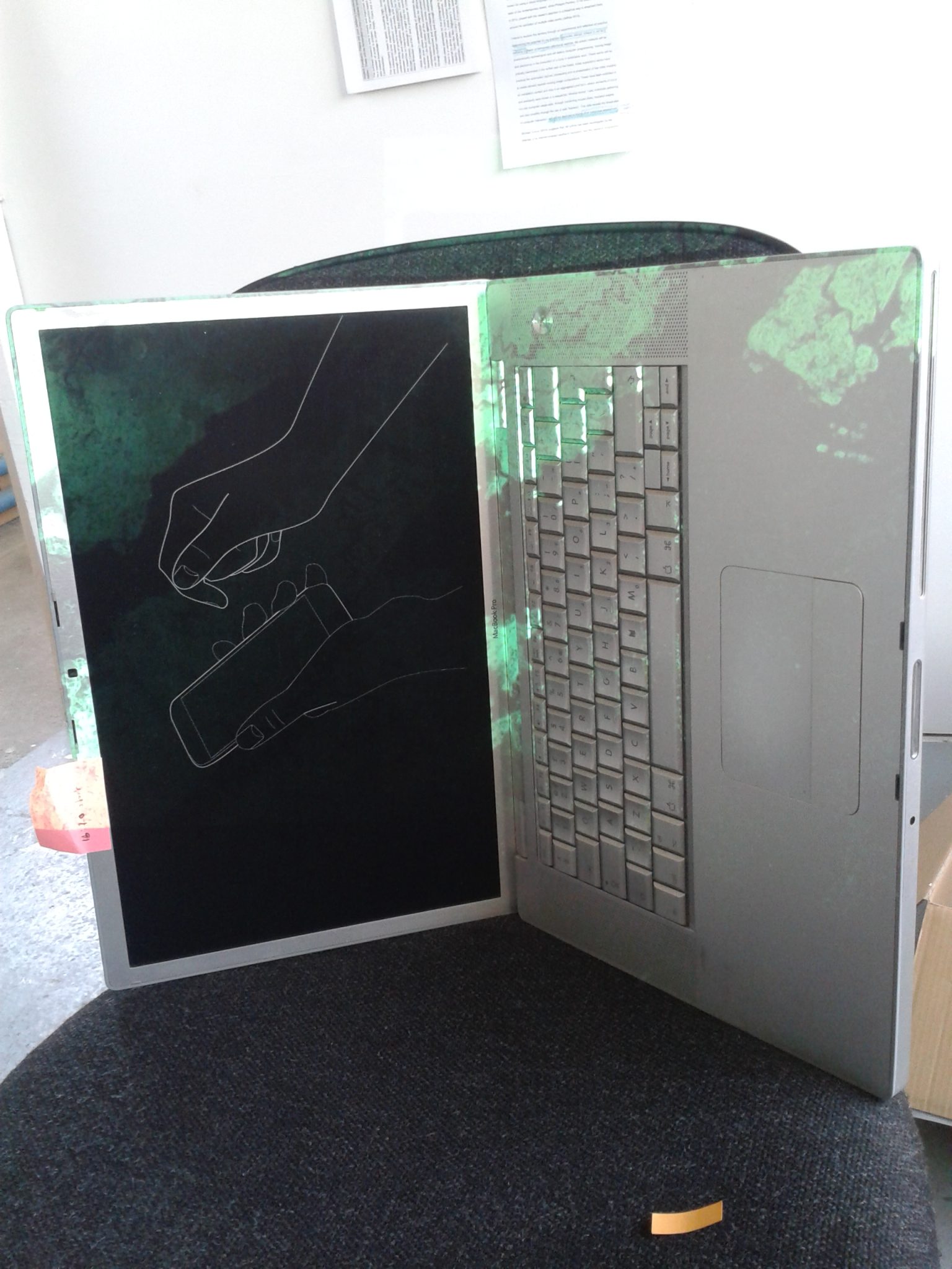
The animated hand was developed by tracing hand movements from video in After Effects.
The ‘pinch-to-zoom’ gesture became the focus of the piece in its early stages. Initial tests with map imagery proved unsatisfactory.
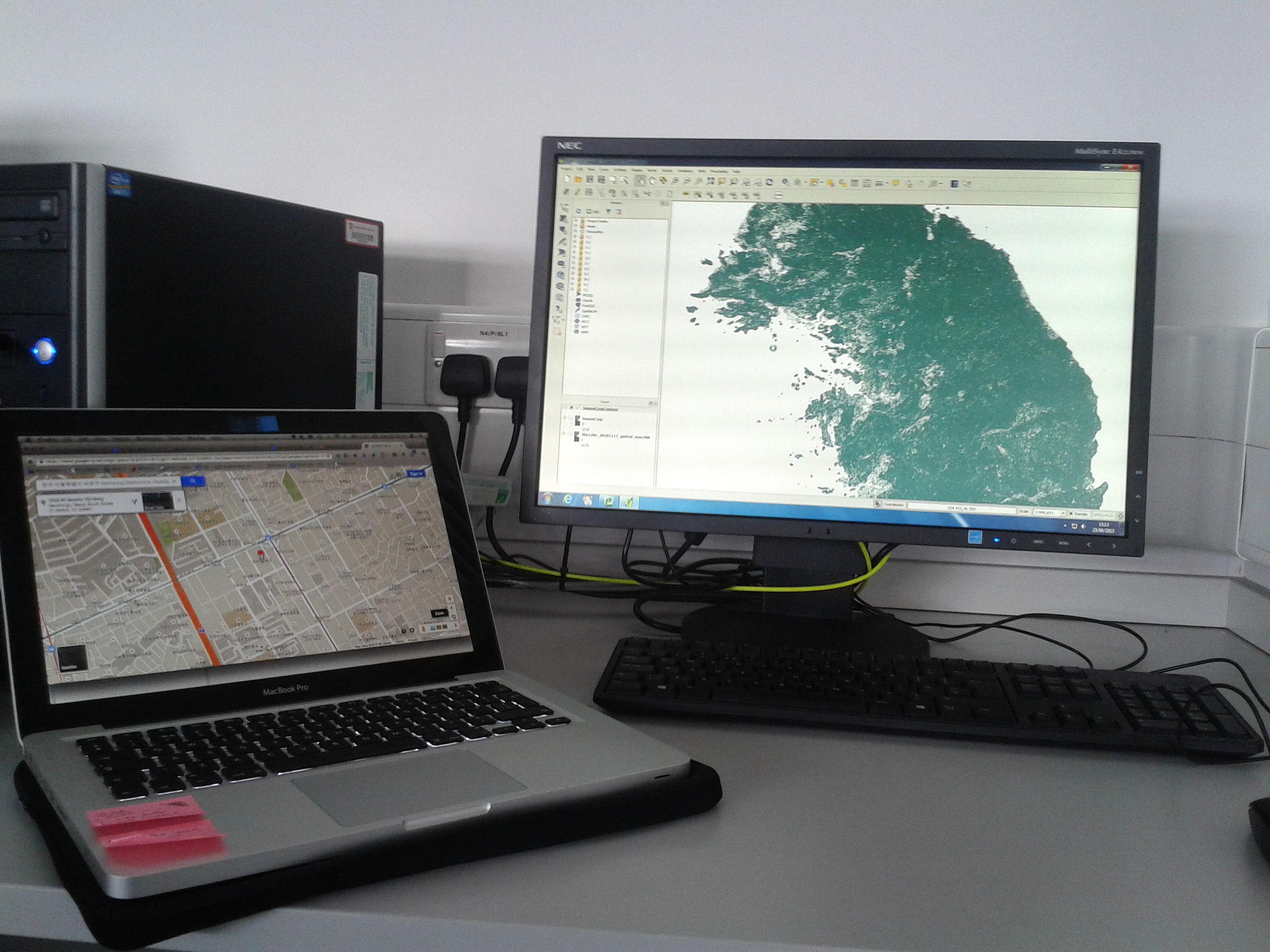
Map data was gathered from USGS sources and converted to vector formats with QGIS.
A second shoot was staged to arrive at a more satisfactory angle for the hands.
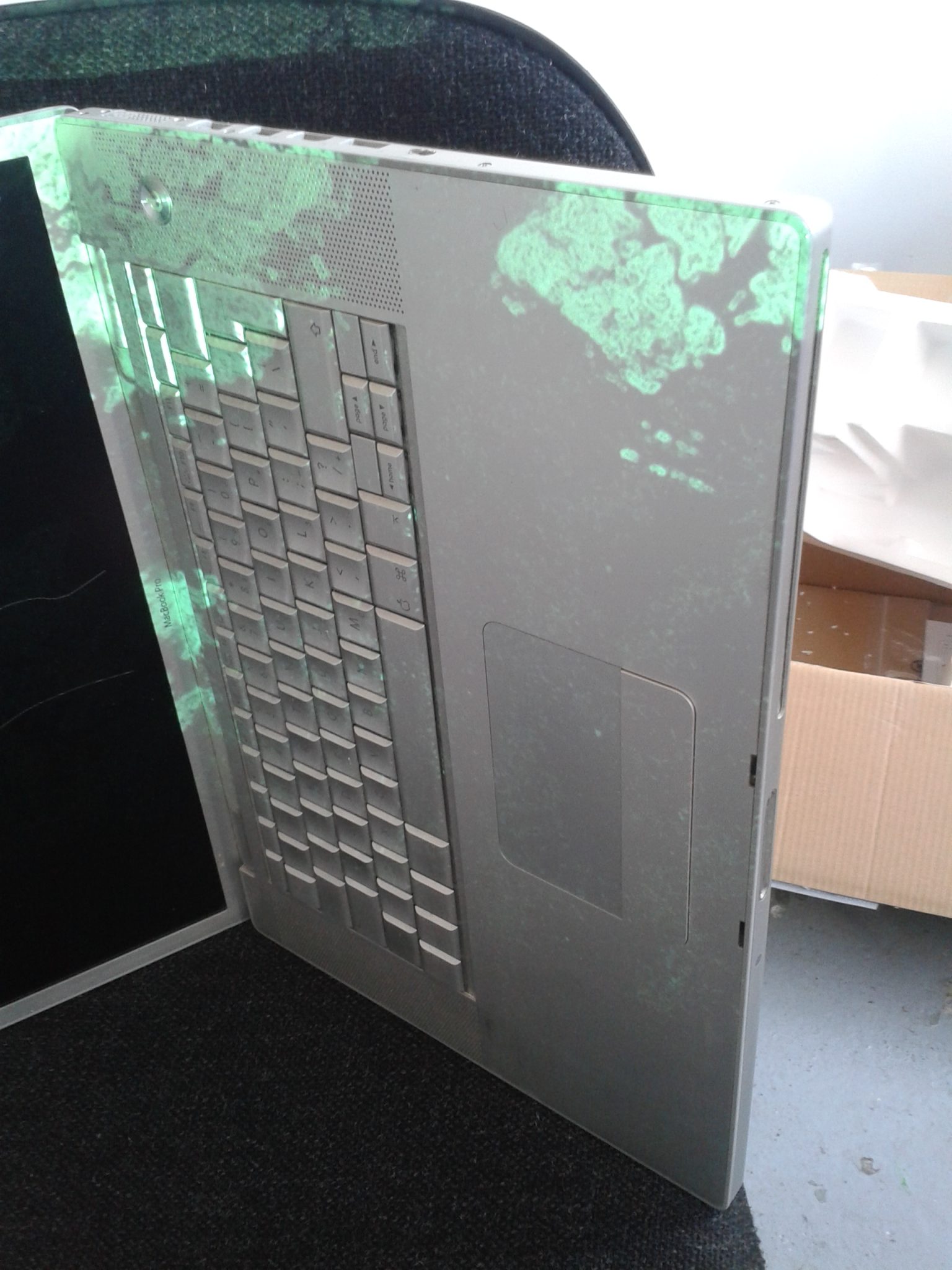
The possibility of projecting the map imagery on top of a screen showing the hand imagery was tested in the studio.
Site visit
It became clear after the site visit that the venue was too bright for projections to work in the way intended. The piece was re-rendered to merge hand and map imagery.
